
Dholera City Map (2025) — Complete Official Mapping Guide
Explore Dholera Smart City with 100% verified government maps. Understand SIR Boundary, Master Plan, TP Maps, Road Network, Airport Plan, Industrial Zones & Growth Corridors — everything an investor must know.
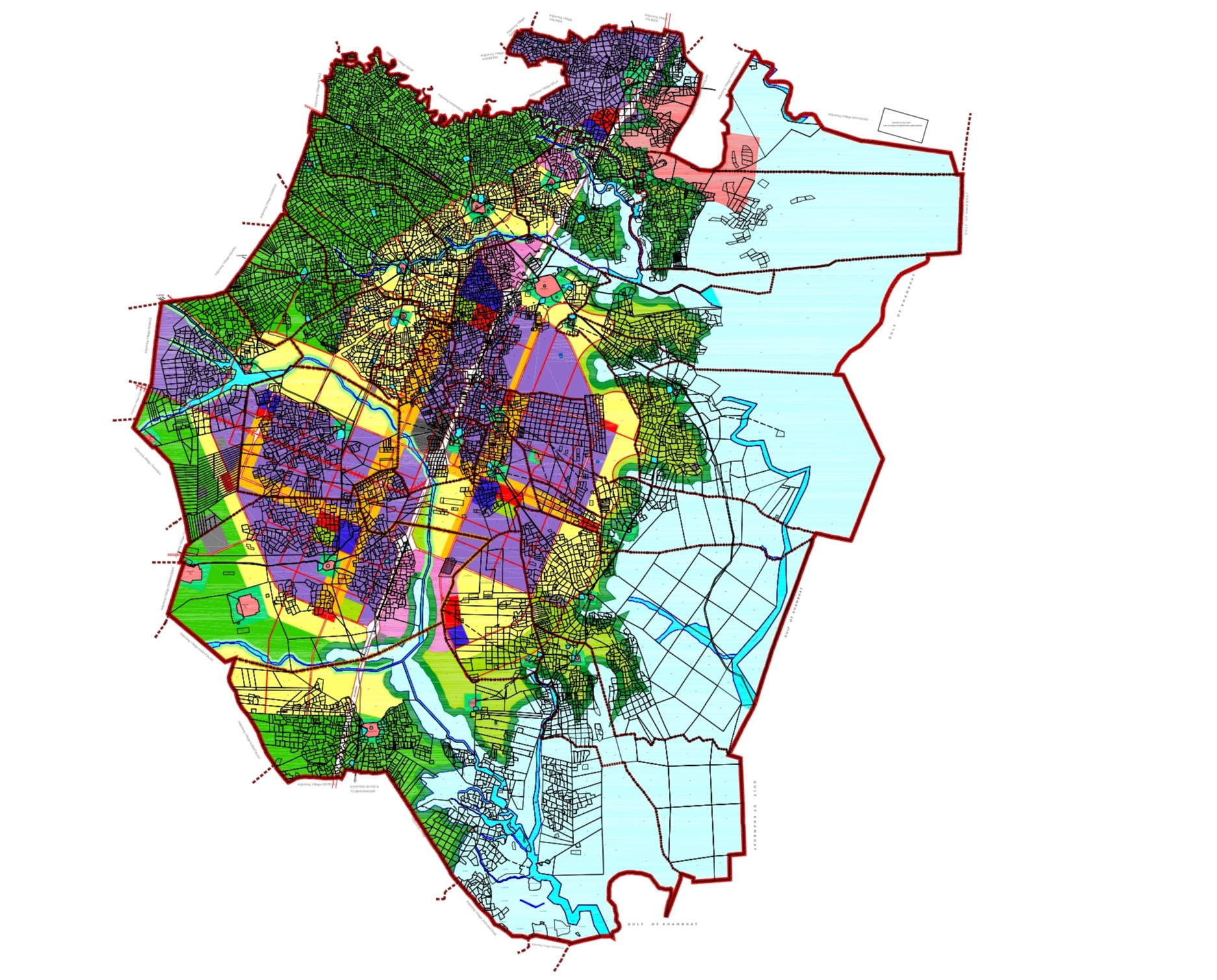
1. Dholera City Map – Complete Smart City Overview
The Dholera City Map provides a complete visual of how India’s first greenfield smart city is planned:
- ✔ SIR boundary overview
- ✔ Metro + Expressway routes
- ✔ Residential & Commercial Zones
- ✔ Industrial & Logistics pockets
- ✔ City Centre & Public Facilities
2. Dholera Master Plan Map (2040)
The Master Plan shows the long-term vision for commercial districts, industrial zones, green belts and sustainable smart-city development.
- ✔ Future expansion zones
- ✔ High-density development regions
- ✔ Knowledge & IT clusters
- ✔ Commercial spines & industrial corridors
- ✔ Green & eco-zones
3. Dholera Location Map – India & Gujarat Overview
This section helps you understand **exactly where Dholera is located** within Gujarat & India — extremely important for NRI investors.
- ✔ Location in India
- ✔ Location in Gujarat
- ✔ Connectivity to Ahmedabad
- ✔ DMIC corridor map
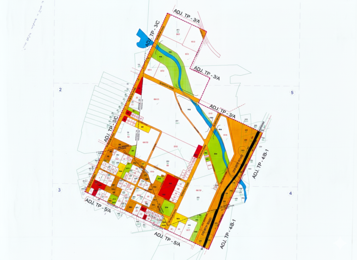
4. TP Maps of Dholera – Government Town Planning
TP Maps (Town Planning) decide which areas will have residential, commercial, industrial development. This is the MOST IMPORTANT map for investors.
- ✔ TP1 – Airport Road / City Centre
- ✔ TP2 – Residential Development Zone
- ✔ TP3 – Industrial Corridor
- ✔ TP4 – Airport Surrounding
- ✔ TP5/TP6 – Future expansion
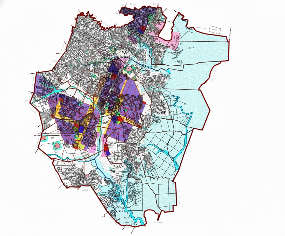
5. Dholera SIR Boundary Map (Official)
The SIR boundary is defined by the Government of Gujarat. Plots inside this area grow fastest due to planned infrastructure and investment.
- ✔ Inside SIR = High growth
- ✔ Outside SIR = Slow/no development
- ✔ Government infra only inside SIR
6. Dholera Road Network Map
Dholera’s smart road network is advanced, future-ready and crucial for long-term land appreciation.
- ✔ 55m City Spine
- ✔ 36m Arterial Roads
- ✔ 30m Sub-Arterial
- ✔ 18m Internal Grid
7. Industrial Zones Map
Industrial development drives demand. These zones create employment, migration and long-term value appreciation.
- ✔ Activation Area
- ✔ Manufacturing Zones
- ✔ Logistics & Warehousing
- ✔ Renewable Energy Parks
- ✔ Aerospace & Defence Zone
8. Dholera International Airport Map
The new international airport is a major economic engine for Dholera — bringing industries, tourism, logistics and massive growth.
- ✔ Runway alignment
- ✔ Expressway link
- ✔ Metro connectivity
- ✔ Commercial belt
Need Help Understanding Dholera Maps?
We guide investors 1-to-1 using official government maps & on-ground experience.
FAQs – Dholera City & Map Guide
Which map is most important for investment?
TP Maps are the most important for understanding future planning.
Are these maps accurate?
Yes — they are based on official government and TP documentation.
Can I get these maps on WhatsApp?
Yes, we provide free PDF maps on WhatsApp.
How to verify if a plot is safe?
Check SIR boundary, TP zone, planned road network & nearby development.